How Lake Travis floods work
The only flood-control lake in the chain, a 100-foot historic range, and what "100% full" actually means.
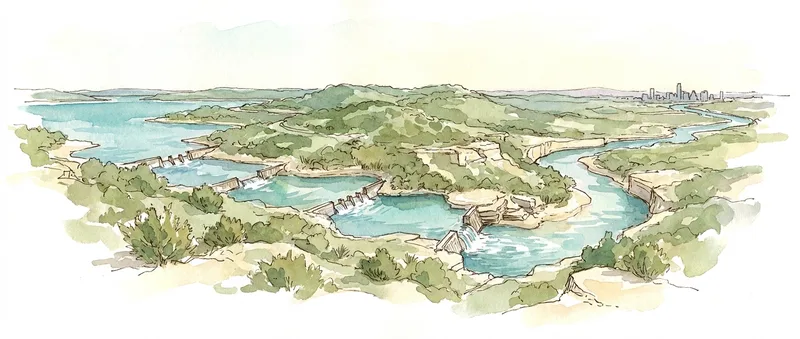
Of the six Highland Lakes, Lake Travis is the only one designed to store floodwater. Its conservation pool tops out at 681 feet above mean sea level. Above that sits a dedicated flood pool up to the 714 feet. So when you hear "Travis is 100% full," that means 681, not the physical maximum: there's still 33 feet of flood storage above it.
The other lakes - Buchanan, Inks, LBJ, Marble Falls, Austin, and Lady Bird - have no flood storage. When floodwater arrives, their dams open gates and pass it through. Only Mansfield Dam holds water back, releasing it on a schedule: up to 7,500 cfs when the lake is at 681 - 683 feet, up to 30,000 cfs above that, always throttled to keep the Colorado River at Austin below 33 feet of stage.
The historic range is astonishing: from 614.18 ft in the drought of 1951 to 710.44 fton Christmas Day 1991, nearly a hundred vertical feet. That range is why "how far below full is Travis" is a permanent Austin conversation, and why we show today's level against the full 85-year record instead of just yesterday's.
A note on names: the dams and lakes don't share names. Mansfield Dam holds Lake Travis, Wirtz Dam holds Lake LBJ, Starcke Dam holds Lake Marble Falls, and Tom Miller Dam holds Lake Austin. If a report says "4 gates open at Wirtz," that's LBJ.