Lovelady monitor well
Water level
456.9 ft
1h ago
What this gauge tells you
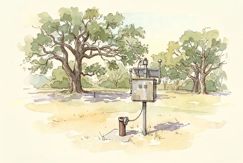
The eyes on the Edwards Aquifer. This monitor well south of downtown reads the water table directly: when the line falls, the aquifer is draining faster than rain refills it. Its 10-day average is one of the two numbers that set the conservation district’s drought stage, along with Barton Springs flow. Drought triggers start when the level drops below 478.4 ft above sea level; the deepest sits at 453.4 ft.
USGS station 301237097464801 — official station page. Readings are provisional.